
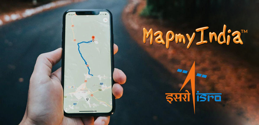
Indian Space Research Organization (ISRO) and MapmyIndia, the location and navigation technology solutions provider are going to partner together to provide India’s best and fully homegrown mapping portal and geospatial services. This collaboration will combine the power of MapmyIndia’s digital maps and technologies with ISRO’s satellite imagery and earth observation data.
According to ISRO, “the Department of Space (DoS) – ISRO comes under it – has joined hands with MapmyIndia to combine their geospatial expertise and build holistic solutions by leveraging their geo portals.” DoS entered into an MoU with geospatial technology CE Info Systems that owns MapmyIndia. The space agency added, “Both the parties will jointly identify and build holistic geospatial solutions, utilizing the earth observation datasets, NavIC, Web Services, and Application Programming Interface (APIs) available in MapmyIndia, Bhuvan, VEDAS, and MOSDAC geoportals.”
VEDAS stands for Visualization of Earth observation Data and Archival System. VEDAS is an online geoprocessing platform using the optical, microwave, thermal, and hyperspectral Earth Observing data covering applications. It is particularly for academia, research, and problem-solving.
MOSDAC (Meteorological and Oceanographic Satellite Data Archival Centre) is a data repository for all the meteorological missions of ISRO and concerns mainly with weather-related information, oceanographic, and tropical water cycles.
Rohan Verma, Chief Executive of MapmyIndia said, “You don’t need Google Maps/Earth any longer. There are many reasons why Indians are better off with indigenous solution maps and geospatial services.
MapmyIndia being a responsible, local, Indian company, ensures that its maps reflect the true sovereignty of India, depicting India’s borders as per the Government of India and hosts its maps in India.”
Through this partnership, MapmyIndia will connect its end-user maps, apps, and services with ISRO’s huge variety of satellite imagery and earth observation data.
Verma added, “Foreign mapping solutions come with hidden costs. This must be very alarming to all citizens. On the other hand, MapmyIndia has an ethical point of view against advertising-led business models of such companies, and hence, does not have an advertising business model. By using MapmyIndia maps and applications instead of the foreign map apps, users can better protect their privacy.”
MapmyIndia’s maps cover all 7.5 lakhs villages of India, 7500+ cities at the level of streets and buildings connected by all 63 lakh kilometers of road network plan of India and providing maps for more than 3 crore places across India.